Total Pageviews

Tuesday 28 June 2016

Mooney Mooney Bridge View

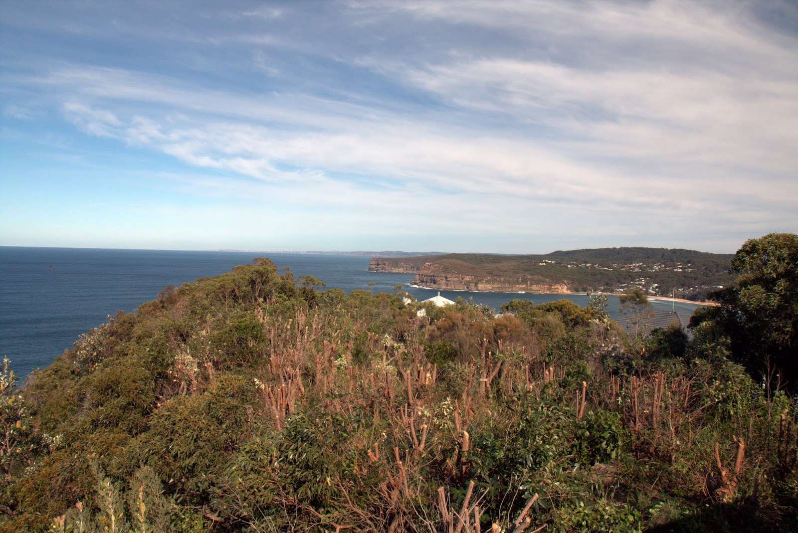
Another short  (4.5klm) fire trail walk a few minutes from home. Looking at Google Maps I thought there might be some good views from the powerline maintenance trails.
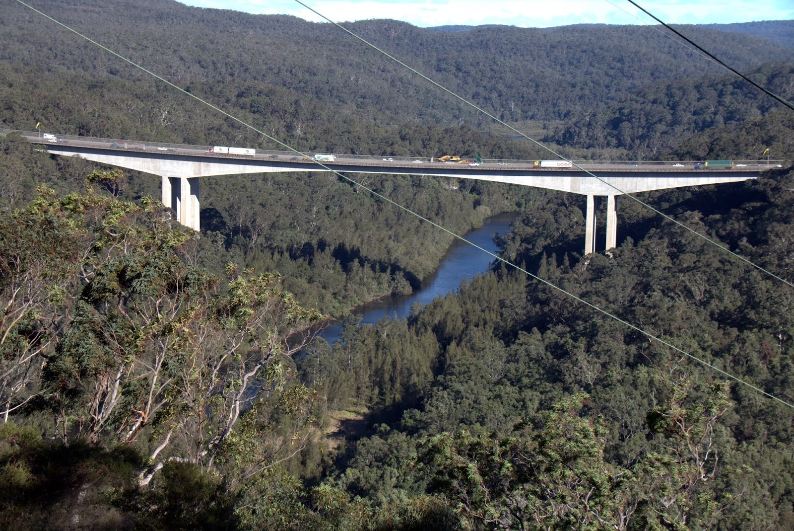
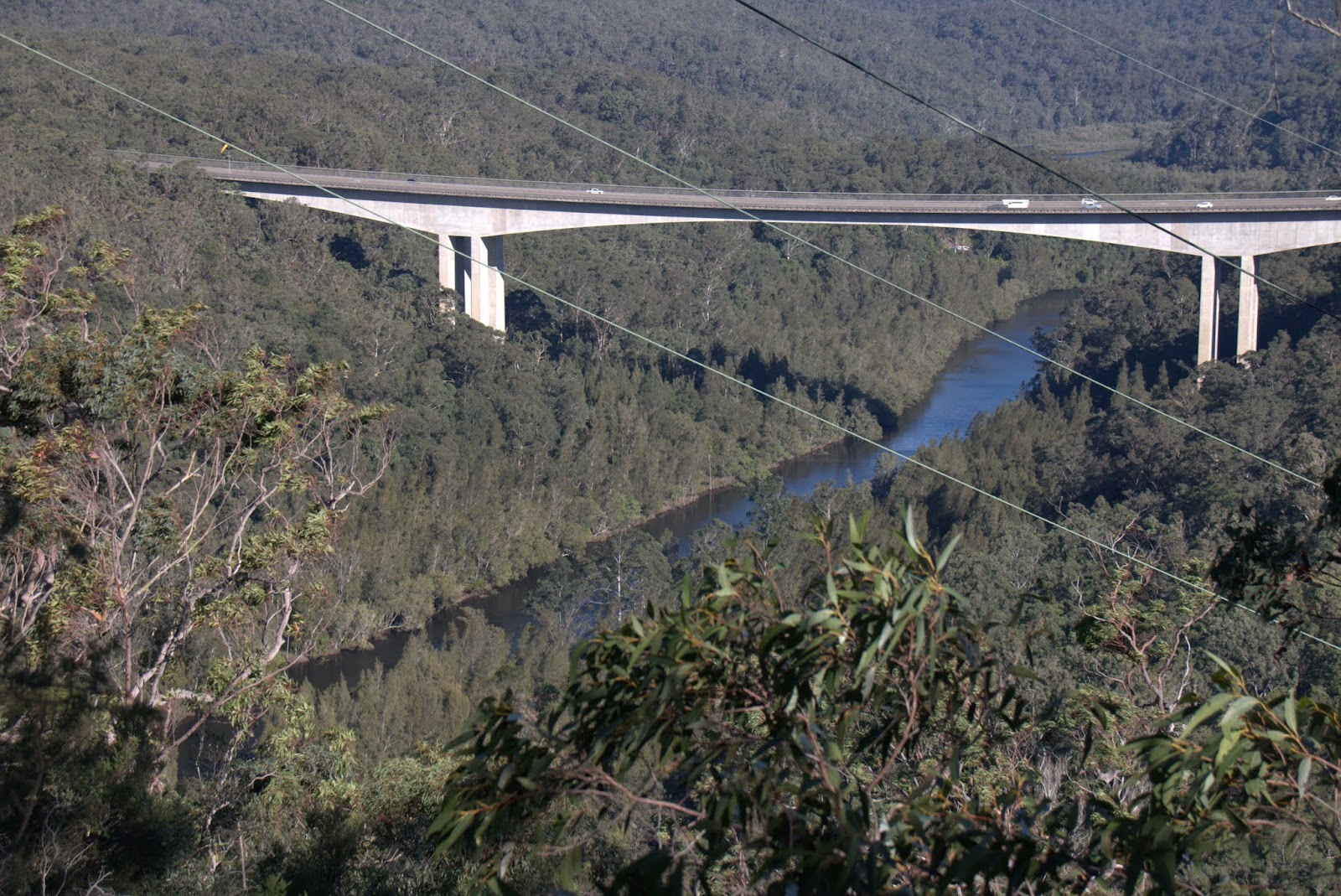
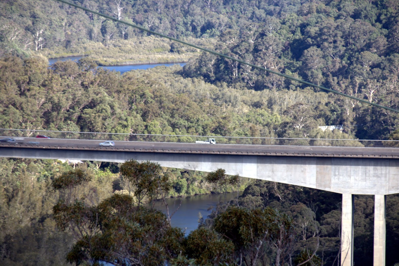
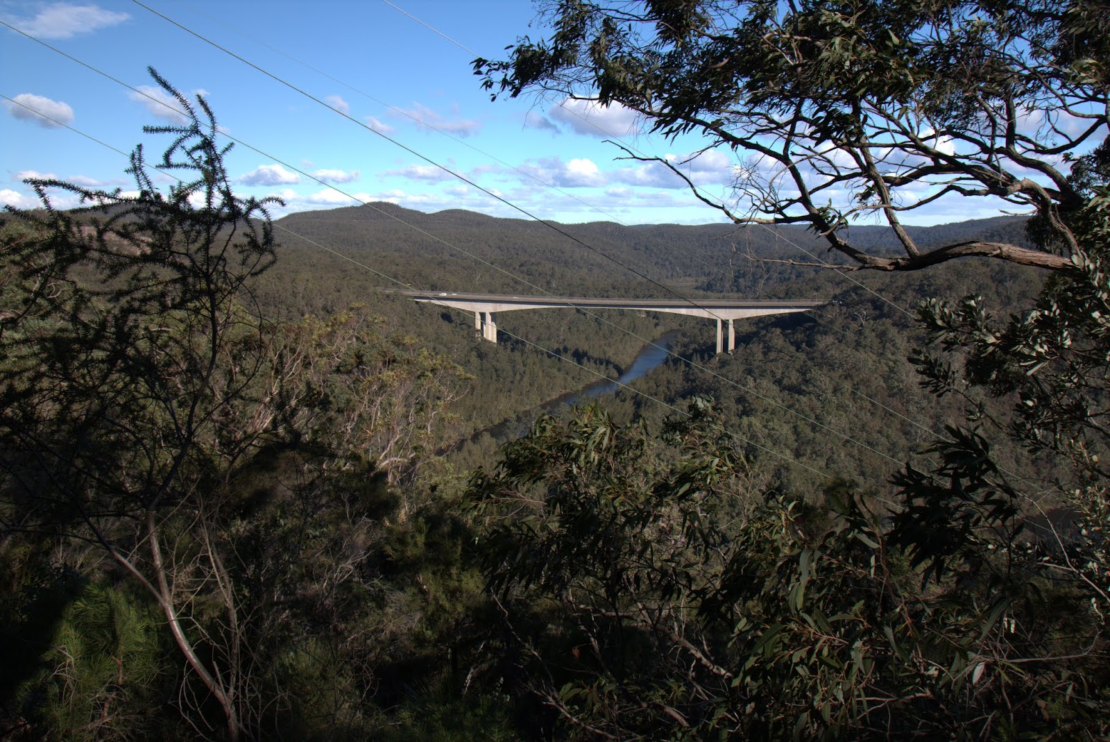
Mooney Mooney Creek Bridge is the highest road bridge in Australia with a height of 75mtrs above the water. It was built in 1986.


Surprised to find some Flannel Flowers in bloom at this time of year. 

From the first viewpoint some filtered views of the bridge. 

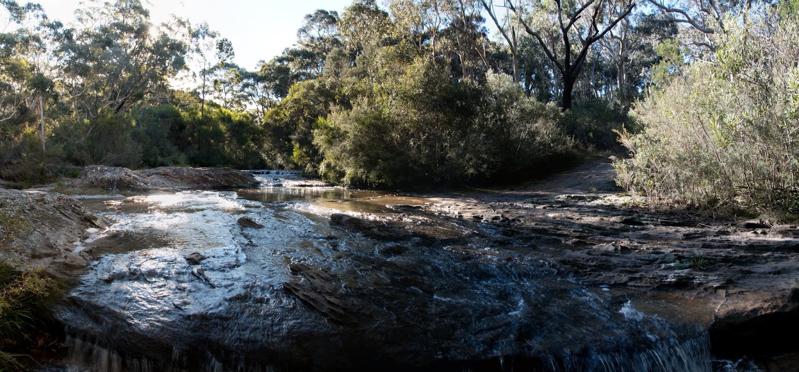
Then another two viewpoints as the trail wound down the hill before stopping at a cliff line over Mooney Mooney Creek.


Monday 27 June 2016

Winney Bay

More of a wander than a walk. Still nursing my knee and looking for some short, easy walks. 
Winney Bay between Copacabana and Avoca on the Central Coast had been on my "to do' list for a while. Starting at Captain Cook Lookout in Copacabana the track heads out on First Point then down to Winney Bay. A great rock platform brings you back under First Point.

Looking south from Captain Cook lookout. No whales sighted while I was there.

Views to Sydney 


Looking north over Winney Bay towards Terrigal and Foresters.

The Skillion at Terrigal 


Under First Point on the way down. 


The other Two Points of Cape Three Points and North Avoca Beach 

Winney Bay 


A good way to spend a morning. 3.7klm walked.

Saturday 25 June 2016

Gibbergunyah Trig and Weeping Falls

My left knee has been playing up with a recurring ACL/MCL injury and swollen at times. Looking for an easy walk I decided to walk Wonsons Fire Trail at Mittagong. This would take me to Gibbergunyah Trig and then on to the ridge opposite the Boxvale lookout. 

The crossing of Sheepwash Creek near the start of the walk.

Views from Gibbergunyah over the expressway to Mt Alexandra


Over the top of Bunnings at Aylemerton to the Upper Nepean State Conservation area and the Illawarra escarpemnt. 


An easy fire trail walk but disappointingly no views of the Nattai River at the end opposite the Boxvale Track. 

Back at the cascades on Sheepwash Creek. 


Following the creek down I came to Weeping Falls. The obvious track comes out at the top of the falls. 

with a little bit of searching a rough track was found and with a lot of pushing through the thick scrub and flood debris I could get to the base of the falls. 


An easy 11.4klm but the price was yet again more swelling and a painful left knee.

Thursday 23 June 2016

Bugong National Park


Bugong National Park is behind Nowra on the NSW South Coast. It covers a plateau area and looks down on the Shoalhaven River. 

A series of lookout points along the cliff line.

Illaroo Lookout, looking down on Coolendel and a bend on the Shoalhaven River. 


Across the river into the Ettrema Wilderness. 


Light timber on th walk out to the second lookout. 

Looking up past Tallowa Dam and the Shoalhaven Gorge. 

Looking down at Coolendel. 


At the last lookout over Budgong Creek.