Little Wobby sits under the cliffs on the banks of the Hawkesbury River opposite Brooklyn and Dangar island. The first part of the walk is on Broken Bay Sport and Recreation Centre land and requires a permit from them which is easily obtained by emailing or ringing them.
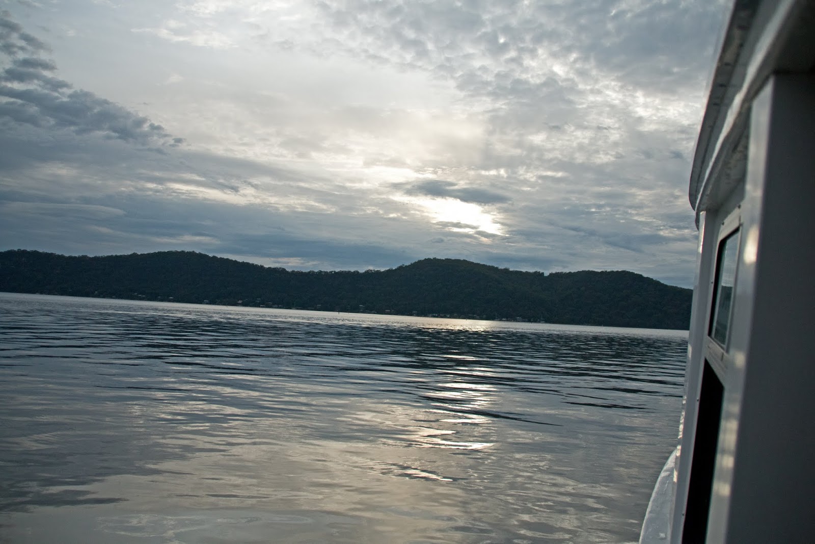
With bad thunderstorms the previous afternoon and more predicted for today I caught the first ferry from Brooklyn at 6.40 am.
Looking across to Little Wobby and the cliff line I will soon be walking.

One other passenger on the ferry which then continues on to Dangar Island.

From the Little Wobby Sport and Rec wharf looking down the river to the rail bridge.

Rather than take the Defile Track ,which is shorter (but reported to be steep and not good in the wet) and because I wanted to visit Juno Point I followed the fire trail out to the point and then up the Midway Trail.
Early morning at Juno Point looking out through Broken Bay


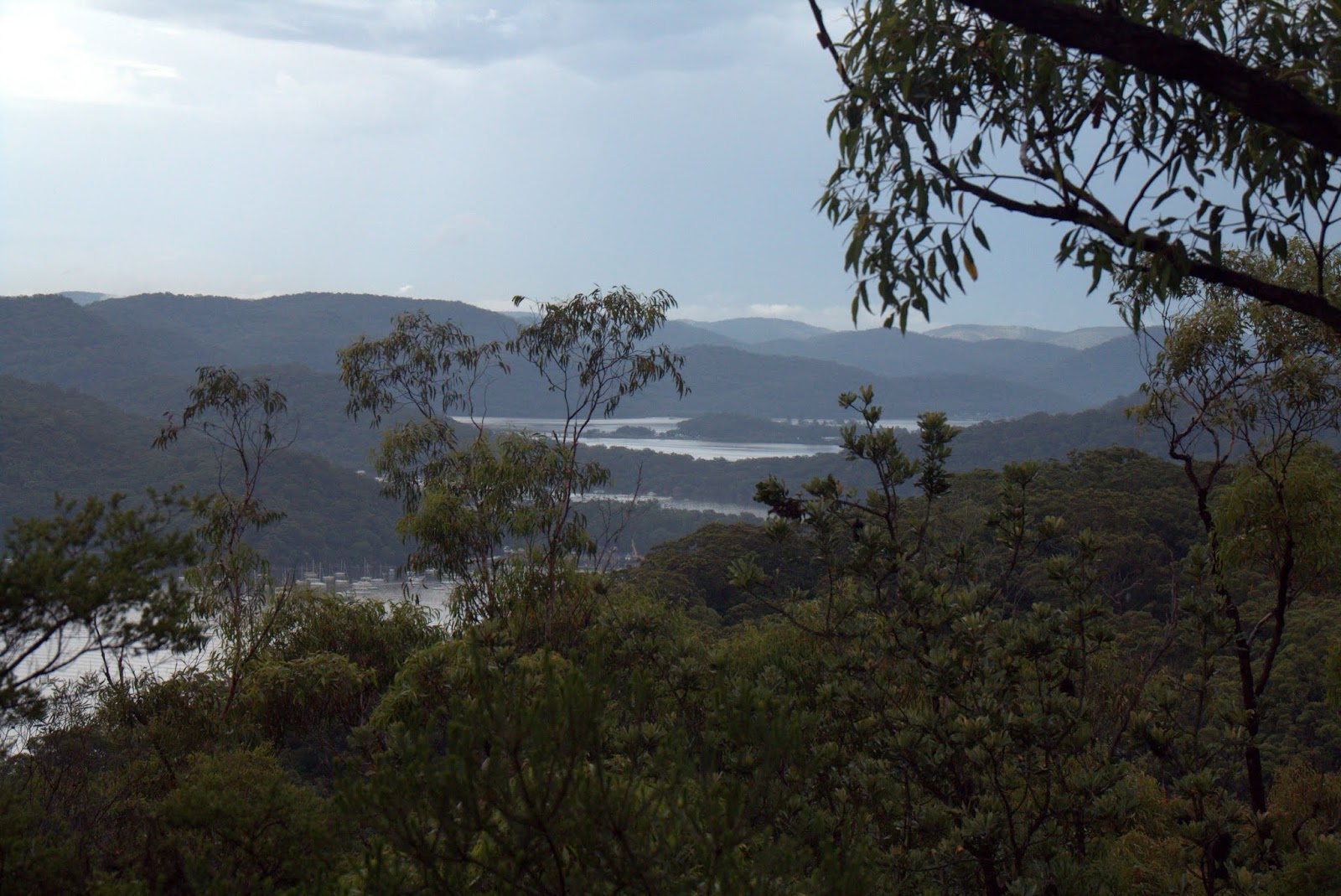
From Juno Point across the Hawkesbury to Cowan Creek

A stitched panorama of a Sydney Red Gum (Angophora costata)
I love these trees
Lion Island from Juno Point

My breakfast spot looking across at Gunyah Beach

and down the Hawkesbury River
Numerous natural lookouts as you walk the ridge line above Little Wobby

Parsley Bay and Brooklyn.


Dangar Island

The view from Tumblecowll. Some TV antennas from the houses below mark this spot, and are evident in the first panorama.


From here the track leaves the cliffline/ridge over Little Wobby and contours behind the hill overlooking Tank Creek. One of the most humid days that I've seen. The temperature was in the low 30's and the sky was dripping. My glasses were fogging up constantly and I had to take them off to see where I was walking. The track was rougher and the bush along this section of the track was wet and overhanging. Light showers were a relief but I was wet. My camera was fogging up and I was running out of dry cloths to clear the lens. The photos from this section of the walk are all a little hazy.
Fringe Lily (Thysanotus sp.)

Tank Creek at the track crossing.


I then turned down the creek and walked down to Rocky Ponds and the waterfall overlooking the back of Dangar Island.


Back at the track crossing over Tank Creek and near the informal camping area there were numerous short tracks which seemed to go nowhere. I missed the main trail and pushed my way through some thick scrub for a while till coming to the main track. From here it follows fire trails back to Woy Woy Landfill and then a road bash on to Woy Woy station for the train back to Hawkesbury River. After a 21.5klm walk I missed the heavy rain and thunderstorms (by about 5 minutes) which started while I was driving home.


