Total Pageviews

Saturday, 12 May 2018

Burrawarra Point

Off to Batemans Bay early morning and I collected a kangaroo out of nowhere. Still drivable and lights working but took out my foglight and pushed the side panel back so I couldn't open the passenger door. Was no problem driving until I got to Batemans Bay when a few tighter turns meant I had to lever the font panel away from the wheel. Temporary  repair with cable ties did the job but a couple of weeks later I'm still waiting for the smash repairs to book it in  for repair.
 First time a roo has put me off the road.


A short walk just south of Batemans Bay to Burrawarra Point. Burrawarra Point Lighthouse was not the most romantic or impressive light I have seen. 


Looking north from the point across Guerilla Bay to Jimmies Island with the north head of Batemans Bay on the far horizon. 


Burrawarra Point 


Looking south across Broulee Bay to Tomakin and Broulee Island. I sat here and watched a seal lazing just off the rocks. 
An easy 2klm walk.

Wednesday, 9 May 2018

Manning Lookouts

Manning Lookout is on the rim of the Kangaroo Valley just past Fitzroy Falls. From the lookout a track leads off through the scrub and follows the cliff edge to a further two old lookouts and then on to the waterfall of Crystal Pool just before it flows over the cliffs in to Kangaroo Valley. 
This track originally built around 1937 was then "lost" for a period of time with the scrub reclaiming the track and the lookouts falling into disrepair. Even now the track disappears at times and a little scrub bashing is involved.

 Manning Lookout  

Three Brothers Lookout


The Lost Lookouts


Crystal Pool and falls.
 In another of the Robert Sloss guide books he calls this Blue Pool. Which we visited in June 2015 when there was a bit more water coming over the falls.


A nice 7.6klm walk. I'd say an easy walk except for loosing the track at times and pushing through the scrub. This wasn't too hard but my legs looked like they'd been through the mincer. Should have worn my gaiters or long pants.

Saturday, 5 May 2018

Meryla Bundanoon Gorge

A very hot and humid day in Bundanoon so we stayed at home till it cooled down. A late afternoon walk in Meryla State Forest and out to Bundanoon Gorge. 

First a pleasant walk through the pine forest.

A complete turnaround with the weather and by the time we got to the gorge the mist was closing in. 


Looking upstream towards Bundanoon Creek Dam 

Then a second lookout in the loop looking downstream from the junction with Stonequarry Creek. 

The gorge of Indigo Creek as it flows down to Stonequarry Creek. Couldn't quite get an angle to look up Stonequarry Creek. 

Great views across to Balks Point and down the gorge towards the more traditional Bundanoon Gorge lookouts. 


Then finishing the loop back to the car through the typical Highlands forest of Scribbly Gums 

A nice 5.2klm walk to round off the day. 

Wednesday, 2 May 2018

The Oranges

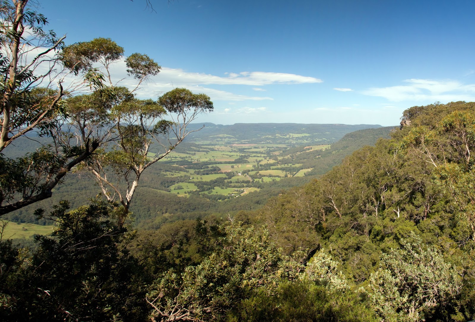
On the way back from Wollondilly River a short walk along a fire trail for views over Nattai National Park and the Wollondilly River valley. The area under the cliff is called "The Oranges". I can find little reference to this area on the internet. There are a few properties in the valley and I am unsure of whether walking access is allowed by the catchment authority. More investigation warranted or maybe I'll just head down and try my luck one day.


Nice clifflines. 


North to the Wanganderry Tableland. 

A short walk of 2klm return with a big reward in views. 

Saturday, 28 April 2018

Wollondilly Nature Reserve

The plan was to leave the car at the gate and walk in to Bowmans Hill and camp on the river there. As the access road passes through Wollondilly River Station, I stopped there first to let them know I would be leaving my car there. The owner said she was happy for me to do that but that it was prohibited to camp there. I had read that they were thinking of phasing out camping, so decided to do the right thing and paid to camp at Wollondilly River Station. This meant I was now doing a day walk with a late start(midday) and I wouldnt have time to cross to the Tom's Island part of the reserve.

Signage at the start. Cant do lots but camping is not mentioned as prohibited.

Five minutes into the walk and a herd of 30plus goats.

The access road leaves the river and follows a higher route into Bowmans Hill and the river flats.


The river flats 

 Still no mention of camping not allowed.


Bowmans Hill homestead. There was a sign on the house fence saying no camping.


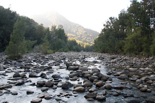
 The River here is a series of long pools and short rock races.


 I stopped for lunch at a larger boulder strewn section of the river.


Lunch in the shade.


I walked on further up the river but the road started to climb and I turned around here. Next time I'll continue straight on and cross the river and climb the ridge on Toms Island. 


Back on the river flats near the homestead and more goats.


Late afternoon light on Perpendicular Rock overlooking the valley.

Camp for the night after my 13klm afternoon walk.

Up early the next morning I took a short walk back into the Nature Reserve but this time staying along the river.


Another nice mid week  "weekend" even though my plans were thwarted. Seems to happen a bit. 
C'est la vie