Total Pageviews

Wednesday, 18 October 2017

Belougery Split Rock

 Six days off work allowed me to range a bit further and I had a hankering to revisit the Warrumbungles.
 As usual I left straight from work at 2300hrs and drove up the mountains and camped in a carpark at Blackheath. On the road early the next morning I made the park before lunch and was able to fit the walk up Belougery Split Rock in the afternoon. 

On the way in to the park I stopped at Whitegums Lookout with views over the whole park.


The Grand High Tops 

Bluff Mountain 

Mt Exmouth 

Belougery Split Rock 

Looking up at Belougery Split Rock from the track head. 

Easy walking at the start 

Looking back over the gorge that the track runs through to Bluff Mountain and Mount Exmouth 


From the loop track the climb to the top is steep.
 I stopped here for a while to stop my knees shaking and convince myself I could go on. 


Closer to the top

Once at the top the views were worthwhile and spectacular.

Looking down to the valley floor. 
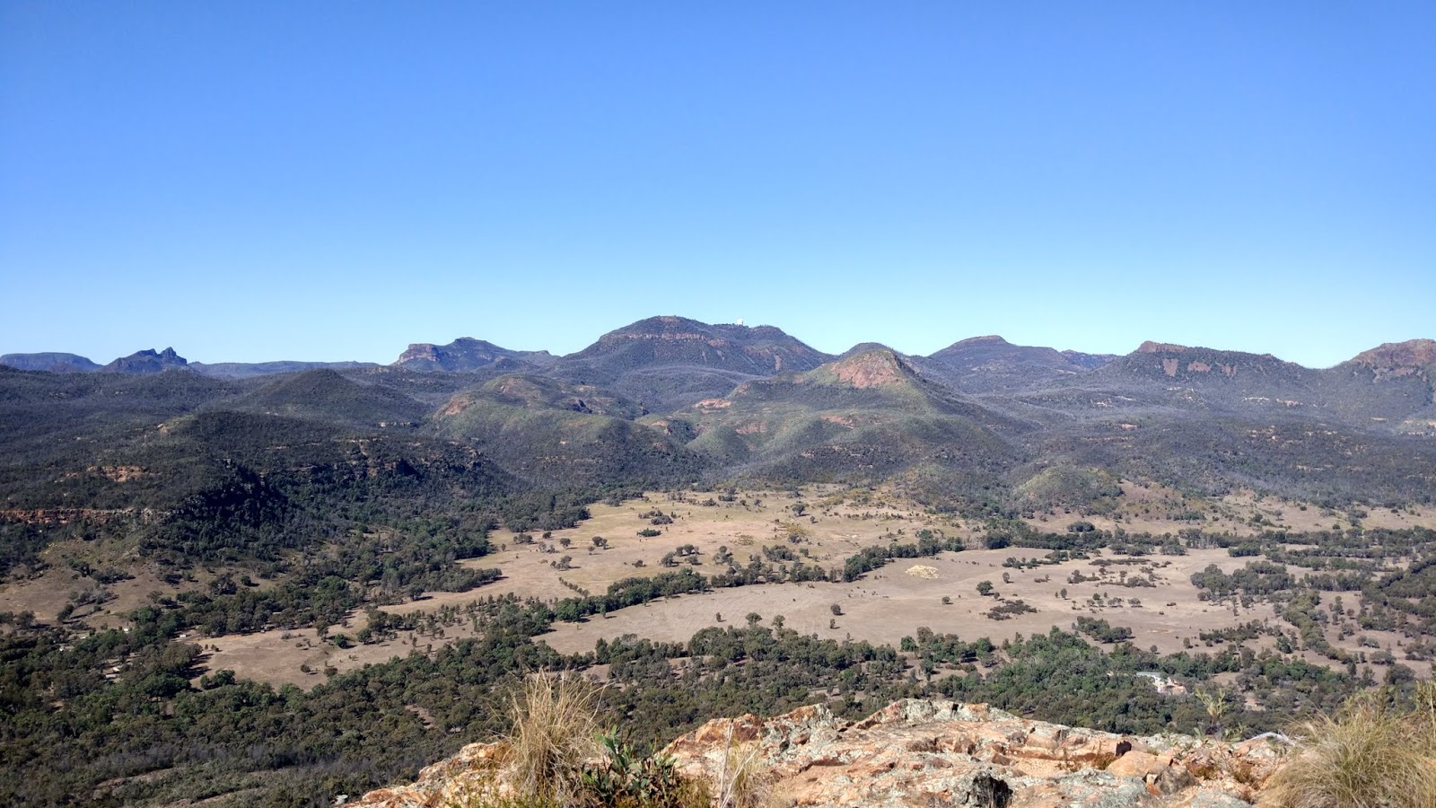
And across to Siding Springs Observatory on Mt Woorut

Bluff Mountain 

The Grand High Tops 

A 360* panorama. I have never been able to stitch 360* before.

Looking west to the plains with the road snaking out of the valley.

On the way back down on the loop 


A short but steep 5klm return.


Saturday, 14 October 2017

"Fairview" Mangrove Creek

I had visited "Fairview"  on Mangrove Creek a few times before but had never walked in from Oyster Shell Road past the weir. This is from the opposite direction to Dubbo Gully and an easy flat walk.

Hitting the flats on the valley floor before the weir.

The saltwater at the weir 

and the fresh impoundment on the other side. 

The Poplars at the junction with Simpsons Track up into Dharug National Park 


Always cattle grazing through here. 

The view from the homestead 

Fairview, slowly falling apart. 


The lagoon at Fairview and the turn around point for my walk today. 

I had carried my small fishing rod in and some corn for bait thinking I might get some carp. A half hour at a small pool while I had lunch with not even a nibble. The creek was very shallow. maybe a better choice would have been in the backed up water behind the weir, 

Already a few snakes about (walked early September) including this good size Brown Snake 


Plenty of Goannas too 

An easy 16.5klm walk to fill in a section of the map that I hadn't walked before

Wednesday, 11 October 2017

Narawallee Creek

A short stay at a BnB at Narawallee Creek just north of Ulladulla.
The cottage was in the middle of Narawallee Creek nature Reserve. 

An easy bike ride out to Buckleys Point in the morning 

Then in the afternoon we walked out to Buckleys Point and did the loop down to Narawallee Inlet and back.

Looking north from Buckleys Point to Lake Conjola and Green Island 

South down Buckleys Beach to Narawallee Inlet 


Narawallee Inlet 


Then back through lovely coastal forest where we had our lunch with Glossy Black Cockatoos having theirs in the Casuarinas above us. 


Croobyar Creek runs into Narawallee Inlet


Full moon that night 

The next day I walked back in the morning and fished for an hour or so. Didn't get a nibble. I was told that no rain for a while and the water is too clear.  


We drove around to the other side of the inlet for a short walk to the point. 


Looking across the inlet to yesterdays walk. 


Always pleasant at Ulladulla where we had a coffee and slice for morning tea. 


Stopping for a late lunch at Corramy Regional Park on Wandandian Creek which runs into St Georges Basin. 

A little light shower here on  our walk along the creek.