Total Pageviews

Saturday, 18 April 2020

Gibraltar Rocks

Holidays,early March and still vast areas closed down due to the bush fires and then floods.
Tidbinbilla Nature Reserve, Canberra was open but large areas closed due to flooding. The walk to Gibraltar Rocks was open and kicked off my holiday walking.
A 10.5klm reasonably steep walk including the Xanthorea Circuit.

First views of Gibraltar Peak from the start of the walk


Once through the Mt Eliza saddle, vistas open up as the Canberra Deep Space Communication Centre comes into view together with the Black Mountain Tower in the centre of Canberra. 


Panorama over Mt Eliza and the Tidbinbilla Valley


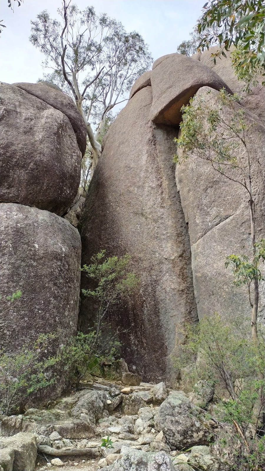
Granite Tors as you climb. 


Then magnificent views from the top of the tors 


Then through the tunnel for views south into Namadgi National Park. 


Lovely granite country 


Late afternoon light looking back at the end. 


Tuesday, 25 February 2020

Mirror the Burn

A nice calm day for a paddle. Out to South Durras, where the lake was up after all the rain and a launch off the grass next to the boat ramp.

The lake was like black glass under an overcast sky.
 Perfect.


The fire had burnt down to the water all along the northern shore and the rain had flooded over the Durras Lake Trail in places.


Epicormic regrowth has started. 


On the south side of the lake I'm sure I had walked through some of the area I paddled through today in my  Punt Arm, Durras walk


Another nice morning on the water. 

Saturday, 11 January 2020

Howes Valley Creek

Cheating a bit. With nowhere to walk due to the fires and trapped inside due to exhaustion and smoke filled air outside, I've gone back in time to a walk I did before my blogging days. August 2009 I walked down Howes Valley Creek  off the Putty Road to the Macdonald River. The walk lies in Yengo National Park and today would be unwalkable due to the mega fire to northwest of Sydney and the Central Coast.
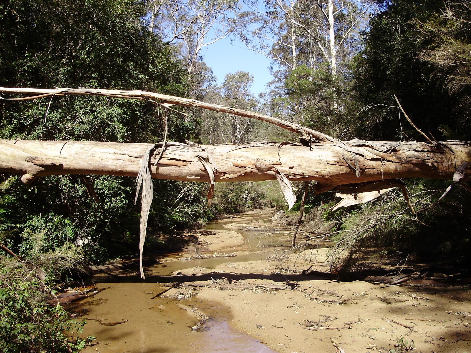
The walk follows the bed of Howes Valley Creek which is described as a river of sand as the water often runs underground. However when I did it there was running water most of the way and after attempting to stay dry at the start I gave in and just plowed through the creek as needed. Just be careful when drying your shoes off at the end as they tend to melt a bit if left unattended


Aboriginal sharpening grooves in one of the few rocky sections.

The junction with the Macdonald River.

Camp for the night.


Drying out.


Back out the same way the next day.


Before GPS so unsure of exact distance but probably between 8-10klm each way. 
Got to say a walk I think about more and more lately and would love to redo with more exploration of the Macdonald River.